


sentier des lapidaires

patou39
User
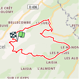

Length
9.5 km

Max alt
1209 m

Uphill gradient
355 m
Km-Effort
14.2 km

Min alt
913 m

Downhill gradient
359 m
Boucle
Yes
Creation date :
2016-08-12 00:00:00.0
Updated on :
2016-08-12 00:00:00.0
2h21
Difficulty : Easy

FREE GPS app for hiking
 SityTrail
IGN / Geographical institutes
SityTrail Plus
The world is yours!
About
Trail Walking of 9.5 km to be discovered at Bourgogne-Franche-Comté, Jura, Septmoncel les Molunes. This trail is proposed by patou39.
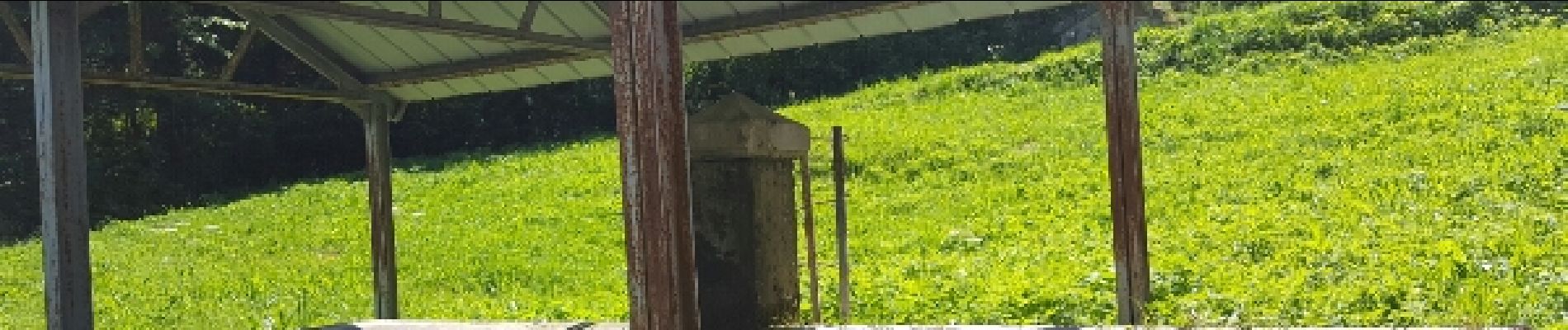
Photos


Points of interest


Positioning
Country:
France
Region :
Bourgogne-Franche-Comté
Department/Province :
Jura
Municipality :
Septmoncel les Molunes
Location:
Septmoncel
Start:(Dec)
Start:(UTM)
725043 ; 5139481 (31T) N.
Comments